Découvrez la nouvelle carte du monde, en PDF, simple ou avec tous les pays, capitales et grandes villes.
Cartes du monde, planisphère ou mappemonde en noir et blanc ou en couleur. Carte mondiale vierge, à imprimer de 1914 à 1939.
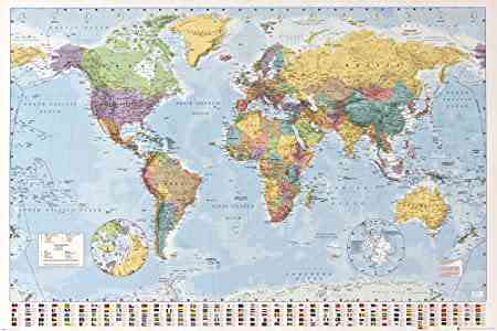
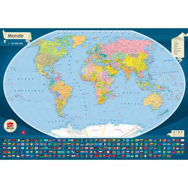
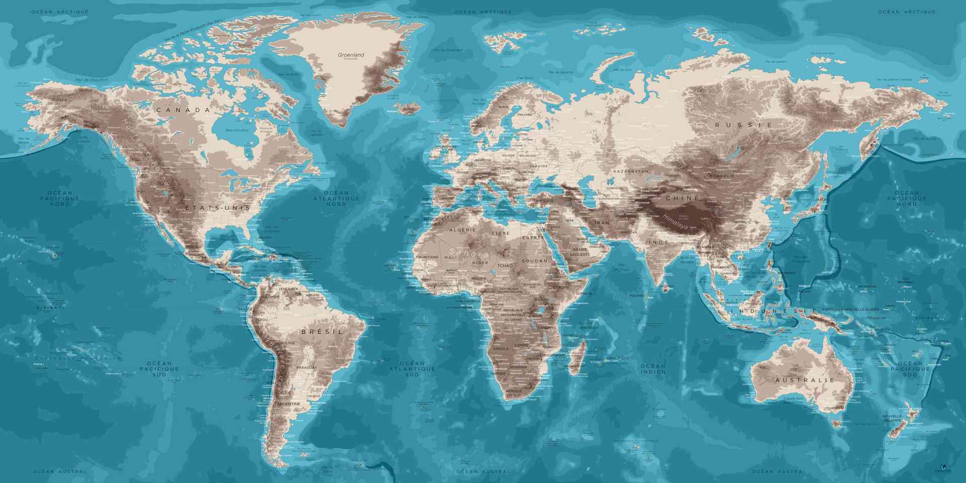
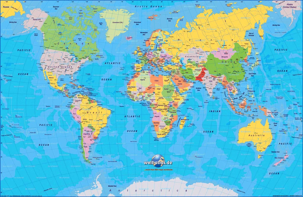
Le monde illustré sur une carte grand format HD.
Cartes du Monde
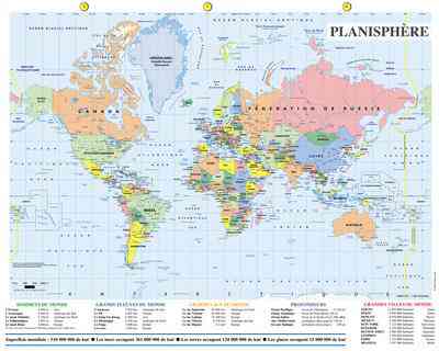
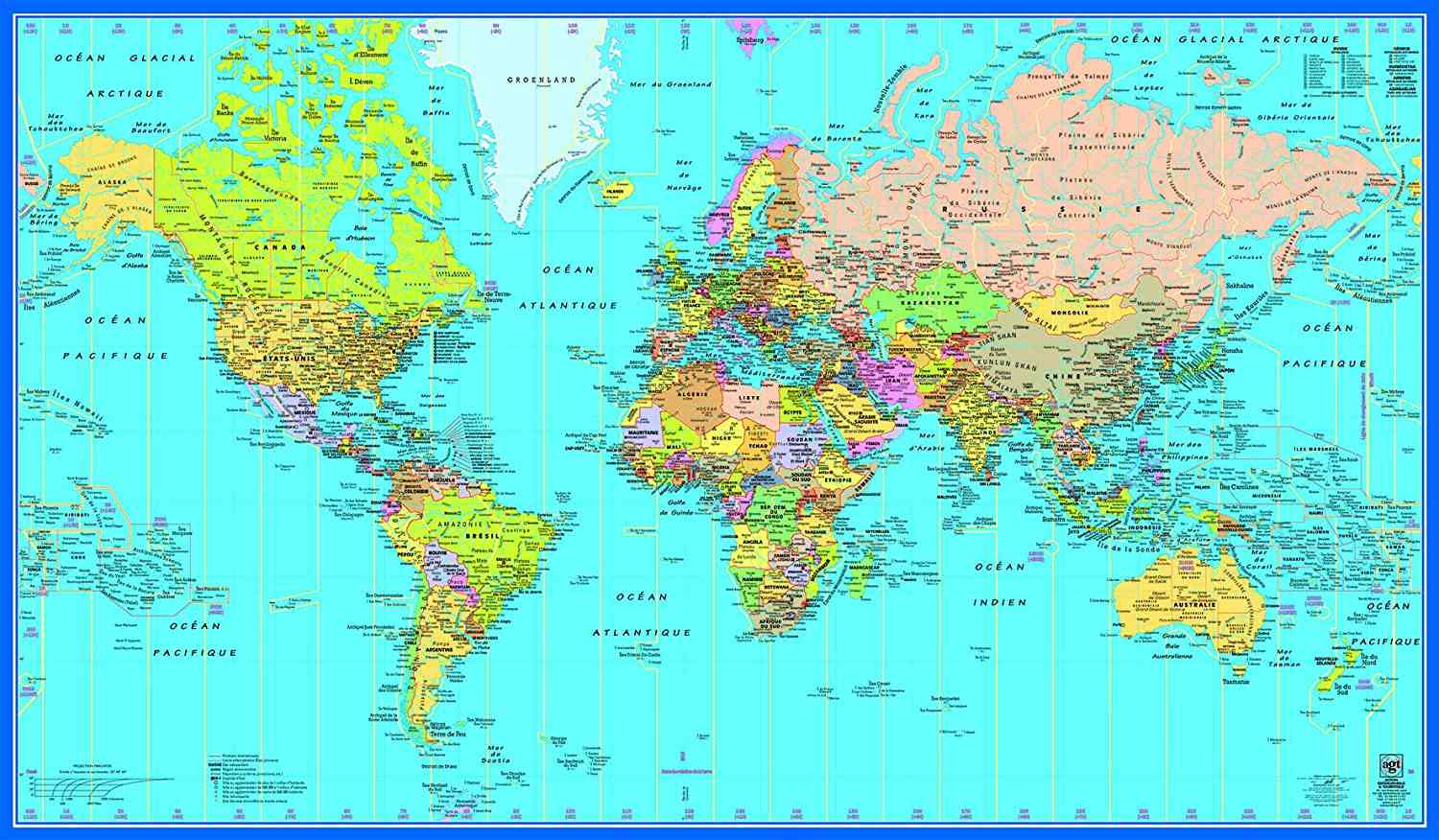
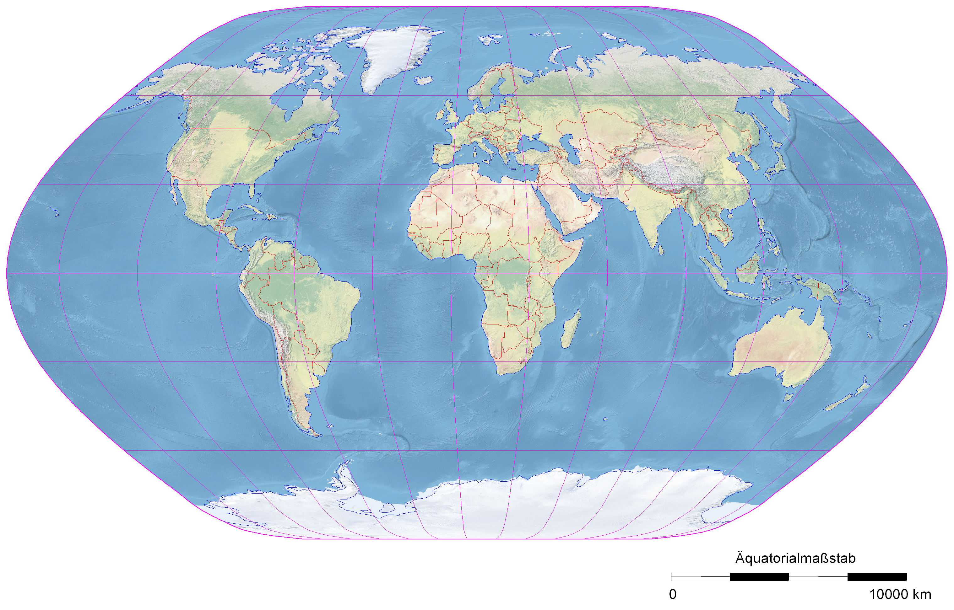
Nouveau planisphère et représentation à plat du monde
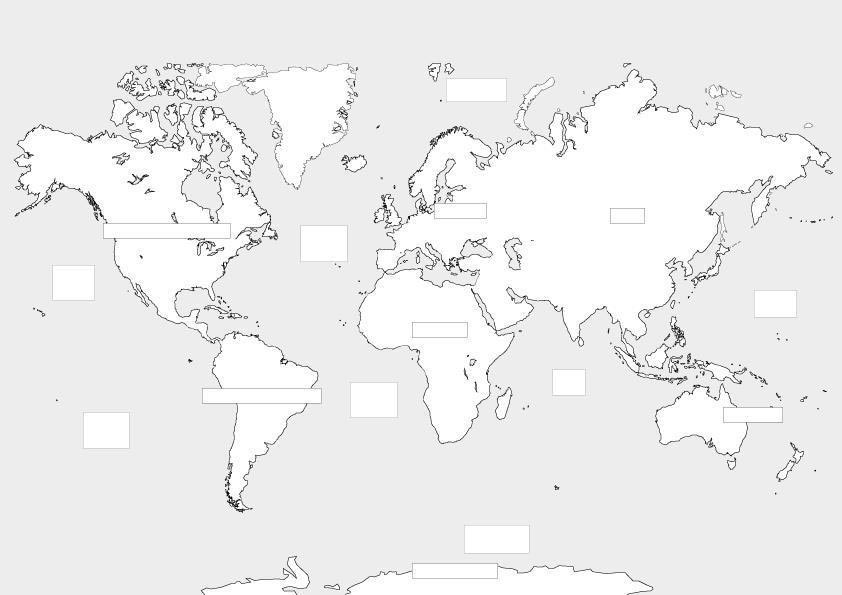
Carte du monde muette, PDF, à imprimer pour CM2 (et plus) sans les pays.
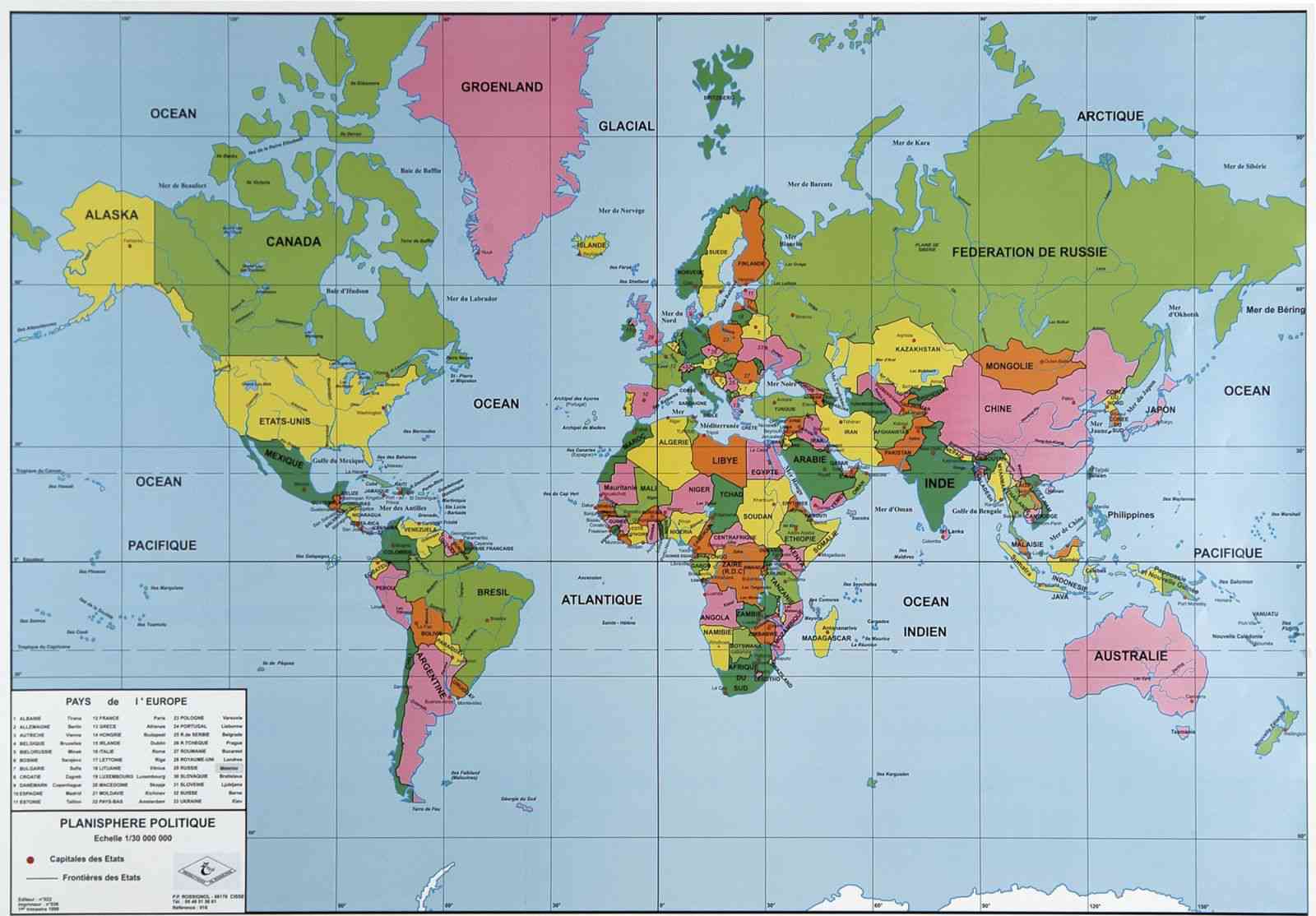
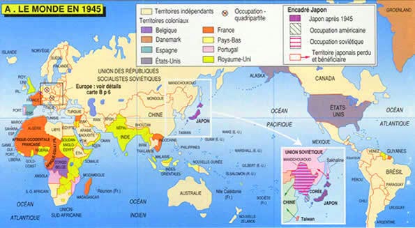
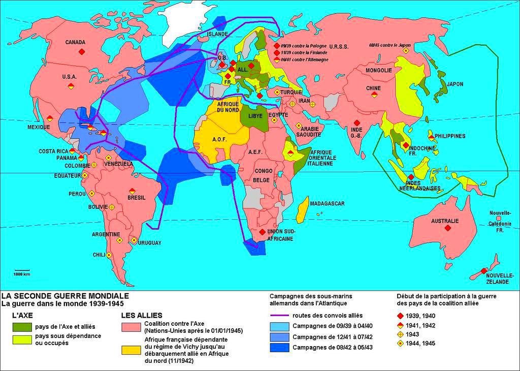
Territoires du monde en 1945 – Carte mondiale avec les pays
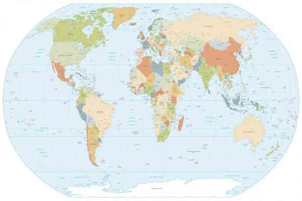
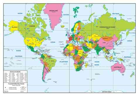
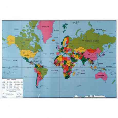
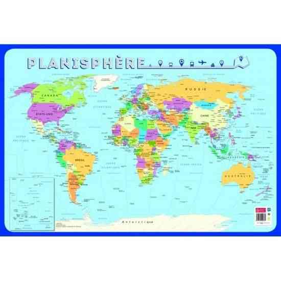
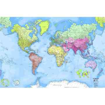
Planisphère en couleur

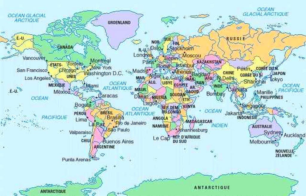
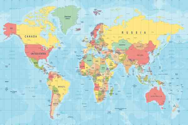
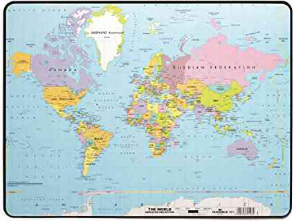
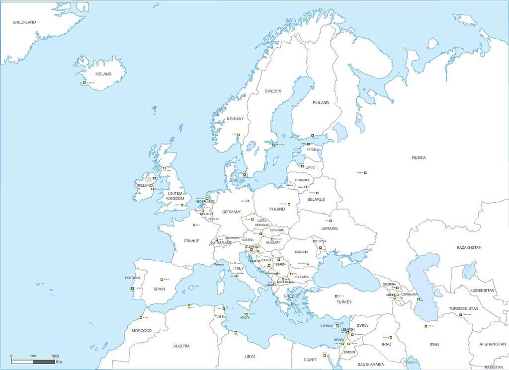
Planisphère et carte du monde à imprimer avec continents, océans, pays et grandes villes
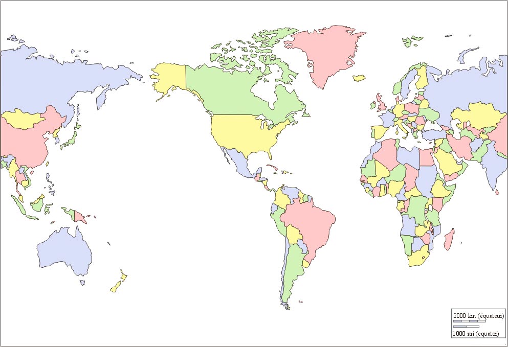
Carte mondiale vierge, muette avec les continents en couleur . Sans le noms des villes, pays ou continents
Carte géographique du monde en 1939 – Deuxième guerre mondiale
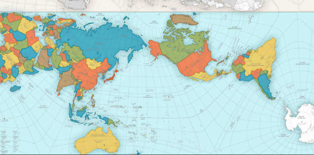
Planisphère ou mappemonde avec deux hémisphère du globe terrestre
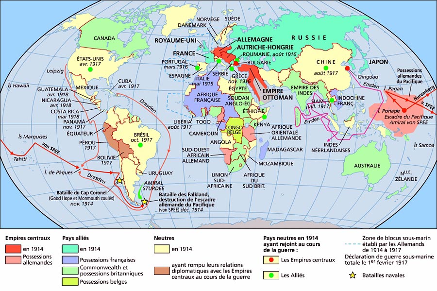
Le monde en 1914 : carte des empires au début de la première guerre mondiale
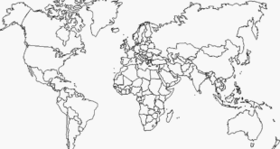
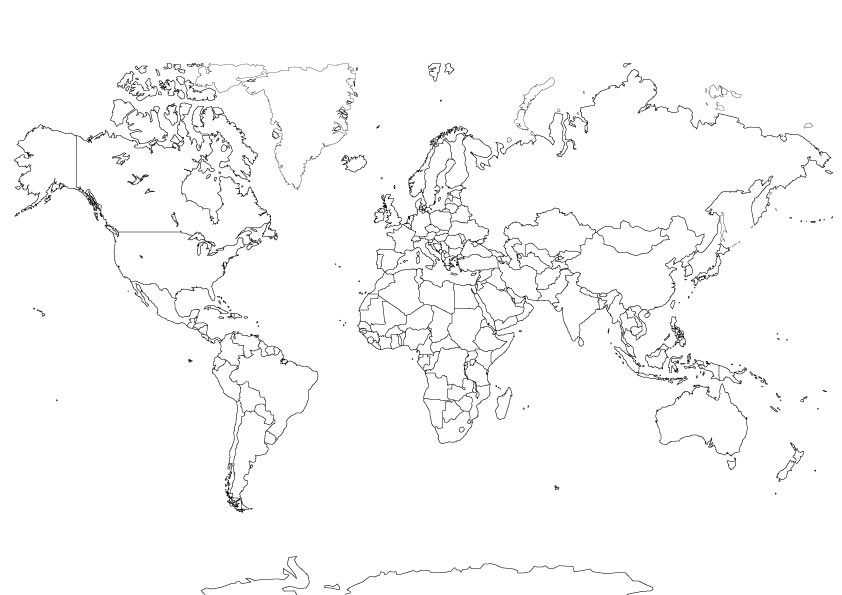
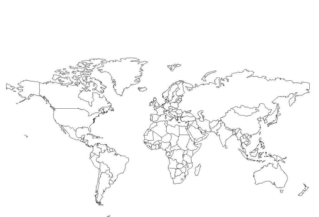
Carte du monde à imprimer noir sur fond blanc. Carte vierge
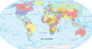
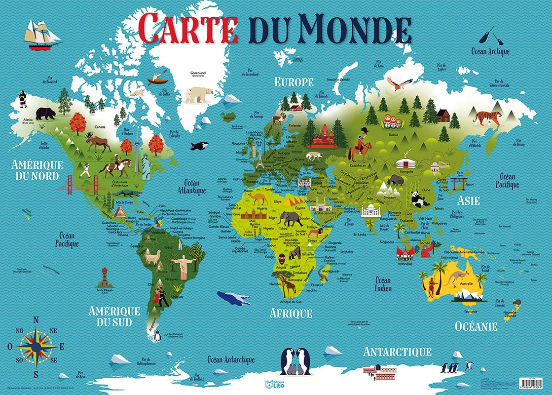
Carte du Monde illustrée en Français
Carte du monde dessin. Carte simple avec pays
Atlas et Cartes du monde
Carte du monde vierge avec continents simple à imprimer